Ninghan Station
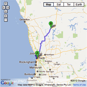
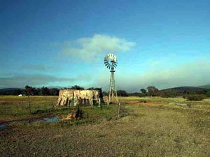
- Ninghan Station is part of the DEC rangelands and is managed by the 3rd generation of the Bell family. In the 1870's the Monks from New Norcia shepherded their sheep in the district, remains of the old stone buildings can be found near the homestead.
- Contact: Ninghan Station 08 9963 6517


- Nearest service: Paynes Find


- Track Length: 225km
- Distance from Midland: Ninghan Station homestead 365km
- StreetSmart®Travellers Atlas 9th Edition Map: 117 Grid Ref: B 5
- Roads and Tracks Western Australia 2005 Map:74 Grid Ref: C 2
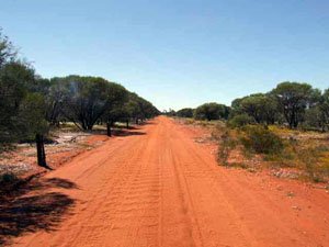
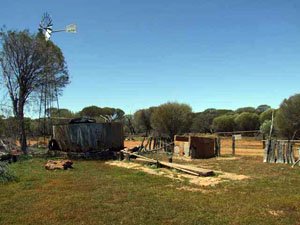
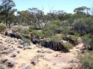
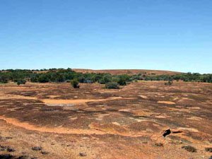
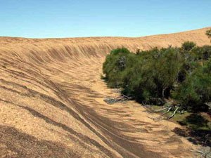
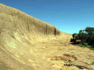
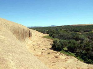
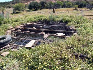
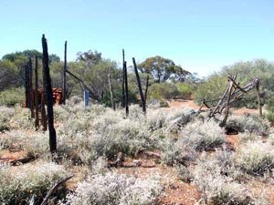
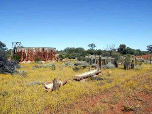
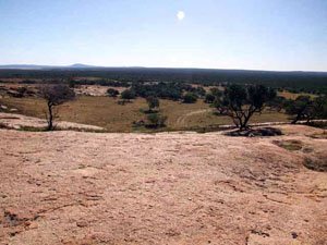
The tracks north of the homestead and south of the Great Northern Hwy are nearly all formed roads, consisting of red dust and corragations in spots. The main track east of the homestead takes you to 2 POI's. Namely, Amphitheatre Rocks and Wardagger well. Amphitheatre Rocks lies on the track to the south about 100m before the Billgabarna bore (NI04). Traveling south along this track you will come to the Billgabarna Well (NI05) and the remains of some old sheep yards.
At the old sheep yards, to the east there lies a track that enables access to Billgabarna Rocks (NI09). You can view Amphitheatre Rocks from here at a distance. The track is overgrown as you get further in and can be hard to define. A good sense of direction or GPS is helpful.
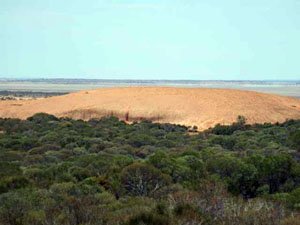
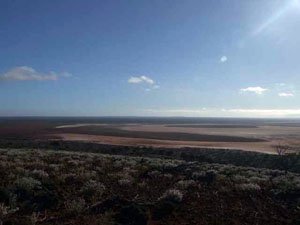
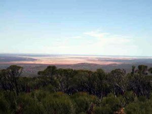
The turnoff to Amphitheatre Rocks lies about 1.3km south of NI07 and is on the left (east) side. It is then a further 1.6km in to the parking area. From here you can hoof it either at the base or along the top for a view of Lake Moore.
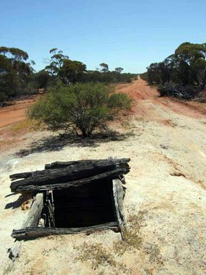
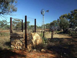
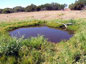
The turnoff to Wardagger Stone Well lies about 4km east of Billgabarna bore (NI04). Along this stretch you find a good campsite at the Breakaways (NI20). It is about 2.6km north from the intersection to the well which lies at the base of Wardagger Hill. There are camping areas here and some quieter ones to the west at NI23. Wardagger Well was part of the camel drivers route from Paynes Find to Ninghan Station. Following the winding track east of Wardagger Well will take you out to Barley Well (NI30) and the old out station (NI28)
Coonigal Well lies close to the base of Mt Singleton and is an excellent camping area with trees and open areas. Following the track S/E from the well across a creek bed the track will head into the low hills allowing views of Lake Moore. Travelling further along this track takes you to Carringabby Well.
Mt Singleton can be accessed by the track behind the homestead. The ascent to the top is a very stoney track, steep and a one vehicle width. The views are worth the drive. Some other points are the camping area and rockholes down towards Coolagee Hill. Ninghan Station can be contacted on 08 9963 6517. Camping rates are $7 per night and chalet accomadation is available. Checking in and out at the station is mandoratry and being self suffient is the go as there are no services.
Right click mouse and use scroll wheel to zoom the map below. You can also access the free map at maps.bushtrax.com where you view and download the map in the .mbtiles format. We have provided information about some apps that will handle this map format. Using your mobile to view in landscape mode is best.

