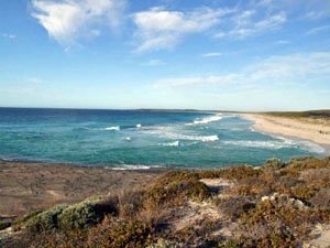
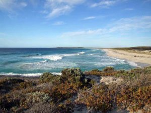
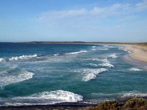
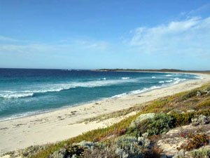
Munglinup Beach
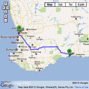
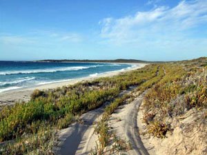
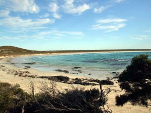
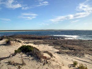
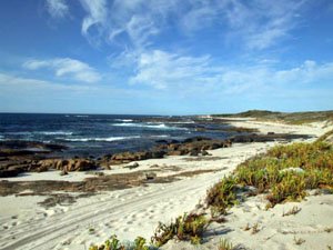
- Munglinup Beach and surrounding areas are very easy to traverse. The surrounding areas east and west of the caravan park can be regarded as day use areas. The Skippy Rock (MUN58) areas have designated camping and day areas as well. The caravan park at Munglinup Beach is a community park. There are other options with regards to accommodation in the area.
Following Washpool rd west of here you will come to a side track at MUN20 and another one at MUN22. The MUN22 track travels very close to the actual beach and will enable walking access if the beach is to cut up for the 4WD. At MUN25 you can take the track directly to the beach or turn right at MUN26 to access the headland at MUN28. The track from MUN27 to MUN28 will require low tyre pressures. - Contact: Munglinup Beach Holiday Park


- Nearest service: Munglinup Roadhouse

- Track Length: 40 km
- Distance from Perth: Munglinup Beach Holiday Park 657km Munglinup Roadhouse 634km
-
 Esperance
 - StreetSmart®Travellers Atlas 9th Edition Map: 45 Grid Ref: C 5
- Roads and Tracks Western Australia 2005 Map:10 Grid Ref: E 2
The main track called Washpool rd (MUN10) starts about 150m North East of Doyle rd (MUN07) and Springdale rd. This track will take you along the coast back to Munglinup rd which ends at Munglinup Beach. The track runs through the Lake Shaster Nature Reserve and you may come across a gate at MUN12 which is probabaly here to keep straying stock out.
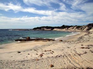
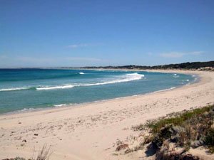
The tracks at MUN 14 and 16 junctions take you to a big rocky headland. The area around MUN15 is sloping slippery rock and even on good day is dangerous. The area at MUN17 is the best bet with a great open beach and some small reefs just offshore.
Following Washpool rd west of here you will come to a side track at MUN20 and another one at MUN22. The MUN22 track travels very close to the actual beach and will enable walking access if the beach is to cut up for the 4WD. At MUN25 you can take the track directly to the beach or turn right at MUN26 to access the headland at MUN28. The track from MUN27 to MUN28 will require low tyre pressures.
At MUN25 you can take the track directly to the beach or turn right at MUN26 to access the headland at MUN28/29. The track from MUN27 to MUN28 will require low tyre pressures. There is parking and walking access to the beach at MUN30. There is parking and depending on your vehicle, beach access at MUN32 also. The track around MUN33 spilts in two allowing vehicles to pass each other.
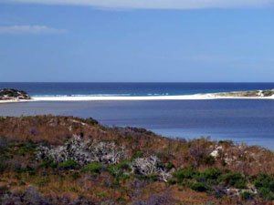
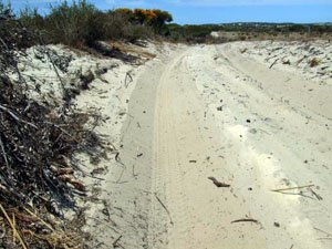
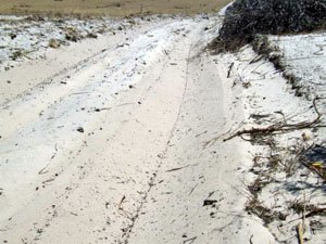
The track to Oldfield Estuary starts at MUN37 and may require low tyre pressures if your trailing a dingy etc into there. Excellent views can be had at MUN39. Turnng left at MUN36 will take you to a shaded area behind the shelter of the coastal hills. There is a track from here that will take you to the beach and inlet mouth. This entails a small hill climb and the track can be regarded as very soft sand.
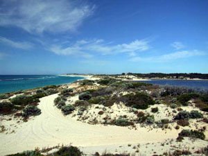
The track at MUN49 will take you to the eastern end of the the MUN15 Beach. A recent wildfire has meant that the track has been cleared wider to act as a firebreak. MUN46 does not allow easy access to the beach and getting back out of the parking area will require low tyre pressures. There is a track heading west about 1.8 to 1.85 KM past the last fenceline. We did not travel this track, though it looks to take you to a dune area (1.4KM) with difficult beach access.

Right click mouse and use scroll wheel to zoom the map below. You can also access the free map at maps.bushtrax.com where you view and download the map in the .mbtiles format. We have provided information about some apps that will handle this map format. Using your mobile to view in landscape mode is best.

