Kennedy Range

- Mt Augustus has a good dirt road from Gascoyne Junction or Minilya Roadhouse. The eastern side of the Kennedy Ranges is also a good dirt road from Gascoyne Junction. The western side of the Ranges is only accessible by 4WD and entails crossing the Gascoyne River. The bush tracks vary from red dirt to stony, sharp terrain.
- Contact: DPAW Geraldton 08 9964 0901 Kennedy Range Mt Augustas


 @ Temple Gorge
- Nearest service: Gascoyne Junction


- Road Reports Upper Gascoyne
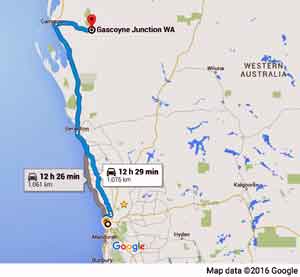
- Distance from Perth: Gascoyne Junction1060 km
Gascoyne Junction to Kennedy Ranges (east) 70 km
Gascoyne Junction to Mt Augustus 354 km
Gascoyne Junction to Gascoyne Riverbank KR07 (west) 38 km - Track Length :Kennedy Range (west) 46 km
- StreetSmart ® Travellers Atlas 9th Edition Map: Grid Ref:
- Roads and Tracks Western Australia 2005 Map: Grid Ref:
