Cave Hill & Burra Rock
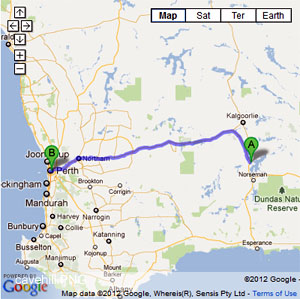
- Travelling north of Cave Hill you are actually following the old railway line to Burra Rock. The track passes over some low country and you can see how the foundations were built up to form a causeway over these areas(CH18). The track over these areas is also a tight single lane in places so I don't know what you do with regards to an approaching vehicle. Washouts are common and the track will be closed during winter or times of inclement weather.
- Contact: DPaW Kalgoolie (08) 9080 5555 Kalgoolie DPaW Parks and Wildlife


 Old mineshafts
 - Nearest service: Coolgardie or Norseman


- Track Length: 178km
- Distance from Perth: Coolgardie 546 km Higginsville Pump Station rd 655km
- StreetSmart®Travellers Atlas 9th Edition Map: 83 Grid Ref: B 2
- Roads and Tracks Western Australia 2005 Map:47 Grid Ref: A 6
The road that takes you from Higginsville to Cave Hill is a good gravel road with a few minor wash outs. There are a few points of interest along here namely, Sunday Soak and a variety of old mining camps. Please be aware that the area is littered with old mine shafts and is classified as a mine shaft risk area. They are easy to spot so be aware that the areas around them can be unstable.
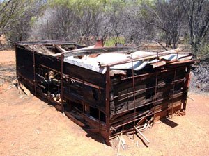
As the crow flies it is about 50km from Higginsville to the junction at CH11. The ruins at CH08 lie near a large rocky outcrop. The ruins are an excellent representation of what it is like back then, as you can wander around the area to view the artifacts lying on the ground.
The granite outcrop at CH08 like others in the area abounds with small lizards. The old mineshaft at CH09 can be seen from the road. It lies just before a creek bed which is defined by the dense vegetation on either side of the track.
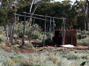
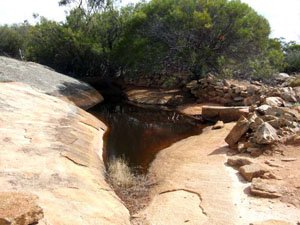
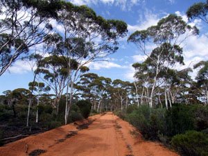
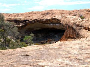
After the old mineshaft you will follow the road till you come to the junction at CH11. The information bay (CH12) and camping area 's (CH13) are to your right and continuing straight will take you to the aptly named Cave. There is a short walk from the parking area to the cave itself. The rock faces have similar charactistics to Wave Rock, though no where near the size. There is a walking platform provided as the area is unstable and is classified as a " Cave Risk Area ".
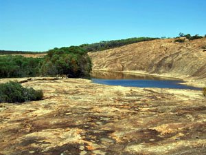
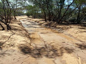
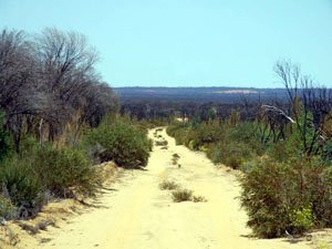
The camping area (CH13) lies near the dam that was a major water distribution point in the gold rush days. Walking to the dam area you can see how the natural stone walls were used to divert the water to a low point in the rock and create the dam. At the CH16 junction further north turning to your left(west) you will come across another granite out crop also. The road to Burra Rock changes to a track now and water affected tracks are more common (CH15).
Travelling north of Cave Hill you are actually following the old railway line to Burra Rock. The track passes over some low country and you can see how the foundations were built up to form a causeway over these areas(CH18). The track over these areas is also a tight single lane in places so I don't know what you do with regards to an approaching vehicle. Washouts are common and the track will be closed during winter or times of inclement weather.
Burra Rock announces itself at a T-junction, where you will turn right. Upon arriving at Burra Rock (CH21) you will find reman ants of old vehicles etc and another dam. The road north of here takes you to Coolgardie. You can get to Victoria Rock rd if you track back south to the T-junction where you turned right and turn right again and head east, this is Cave Hill Road. Cave Hill Road is an excellent gravel rd and you will turn right(south)at CH26. At CH22 you can turn right again (west) and follow this track to Victoria Rock rd (CH25) where it is only a short trek north to the beginning of the Holland Track.
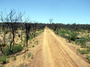
Right click mouse and use scroll wheel to zoom the map below. You can also access the free map at maps.bushtrax.com where you view and download the map in the .mbtiles format. We have provided information about some apps that will handle this map format. Using your mobile to view in landscape mode is best.

