Balbinya Balbunya Toolina Cove
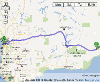
- Balladonia is the nearest fuel with limited supplies in the area. Alternative starting points are Norseman and Esperance. The tracks can be badly affected by rain which is not just confined to the winter months. The area is quite remote and a high degree of self sufficiency is required. The western access track to the beach run that takes you to the Baxter Cliffs is well past Wattle Camp due to the encroaching weed build up along the coast.
- Contact: DPaW Esperance Phone: 08 9083 2100 92 Dempster Street Esperance DPaW Parks and Wildlife


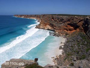
 @ Baxter Cliffs
 - Nearest service:Esperance / Balladonia / Condinup


- Track Length: 622km Balbinya, Balbunya & Toolina Cove
-
 Eucla
Eucla - Distance from Perth: Balladonia 934km Condingup 804km
- StreetSmart®Travellers Atlas 9th Edition Map: 107 Grid Ref: B 5
- Roads and Tracks Western Australia 2005 Map: 64 Grid Ref: B 6
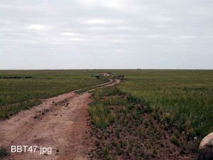
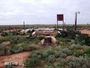
One of the northern entries off the Eyre Highway begins about 85 km east of Balladonia. It lies at the eastern end of a truck bay. From here you follow the track across flat terrain till you come to the old water tank at BBT048. The sign will point you in the direction of the continuing track that takes you to the coast.
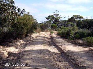
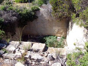
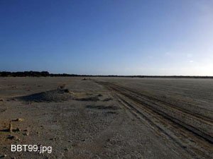
As you travel towards the coast the track changes from gravel/clay to sand and pockets of limestone. Access is uneventful in the dry though wet weather will affect the clay sections of the track. The remains of an old well can be seen in a vast clearing as you near the coast. It is only about 350m to the T junction from the well.
Turn left (east) at the T junction and follow the track till you come to another sign, pointing south. It is about 5km as the crow flies. Another 350m and you land at the Toolina parking area.
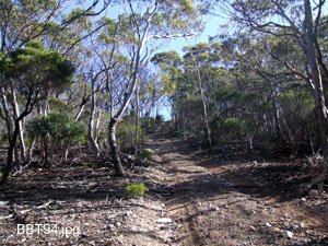
From Toolina you can follow the Old Telegraph Line back to the Bilbunya Dunes and the Wylie Scarp where the cliffs meet the beach. There is another track that does run along the top of the cliffs, though it consists of rough limestone and may be hard on tyres etc. The Old Telegraph track follows the line and remnants can be seen along the way. At times high winds will bring down trees across the track. You will need an axe as the scrub is quite thick and driving around may not be an option.
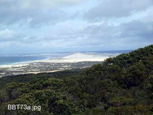
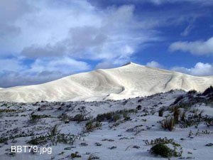
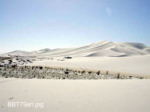
There are a couple of spots that enable a campsite along the track, BBT70 and BBT71. These are clearings with no amenities etc. BBT72 is an intersection where the northern branch takes you back to the Eyre Highway (65km). BBT73 has a track which entails dealing with a hill climb over a sand dune. The dunes characteristics may change due to the wind etc. This track will take you to the Head of Bight.
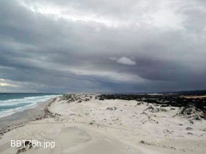
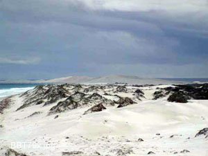
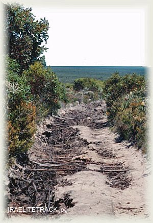
There are 2 recognised campsites that lay on the track where the Wylie Scarp meets the cliffs. BBT76 which is the highest and quite an open area and one that is part way down, with camping amongst the trees. There are 2 options of getting to Isralite Bay from here. The first is to follow the original Telegraph track(BBT77) that starts near the high camping ground. We travelled part way down this track once and to put it simply its overgrown and will do some damage to your vehicle or stuff hanging off it.
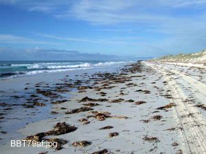
The second is the beach run from BBT78 to BBT80. There is about 32km of beach to travel, it used to be about 60km but the buildup of the weed over the years now extends well past Wattle Camp. An important coordinate to remember is -33.080610 South and 124.168010 East as this is the exit off the beach.
If you take the beach it may be a good idea to check the tides prior to going as the water will come right up to the dunes and there only a few spots where you can get off the beach. The BOM has the tides listed here. At low tide it is an easy drive.
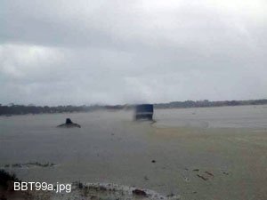
Once you have left the beach and find your way to the mud flats it is pretty much easy going along here. Wattle Camp is a sheltered spot that Professional Fisherman use. The only time it does gets rough around here is if the weather has changed for the worse and you get caught in it. The weather can come from the tradional southerly direction or it can come from the north. The entire area from Wattle Camp to the start of the gravel at Fisheries rd can get wet and muddy.
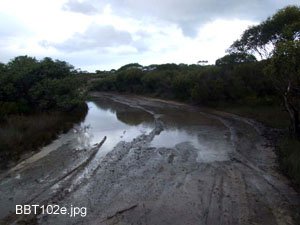
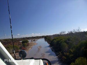
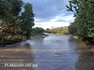
There are 2 points east(BBT100) and west(BBT101) that spilt the track in two. Turning in a southerly direction at these points takes you towards the coast. The coastal track only has a couple of small mud flats to tackle and is generally a sandy track. The Telegraph track will travel across some big flats that could be detrimental to your trip if you get caught in the weather. Some mud flats between Wattle Camp and BBT100 may also have to be traversed around the edges at times. There is also a decieving water hole at BBT102 that can be bonnet depth. There are detours around it.Then again it could be 30 degrees with a light easterly, you never know.
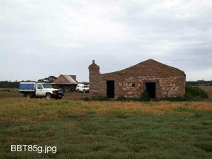
The track (BBT084) to Balbinya starts about 12km south of the intersection of Parmango rd and Balladonia rd. From there it is about another 12km to the homestead(ruins). Balbinya was estabilished in 1883 by John Paul Brooks and the building are still in a good state of repair, being away from the coast.
From the homestead the track heads towards the eastern end of the cleared land. Following it to the end brings you to a junction. At this point you want to head in a southerly direction as there may be a track to the north that will probably take you to Murtadinia Rock. This southerly track will take you to the Wylie Scarp and then onto the Telegraph track just east of Wattle Camp.
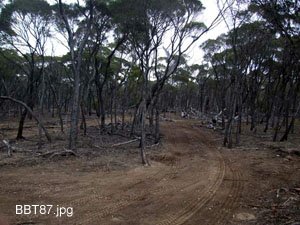
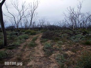
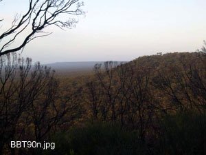
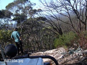
The track is 75km in length from BBT084 to BBT082. About half way along the track a wildfire had been through and made navigation quite difficult due to the new growth and changing from clay tracks to sand. It would be wise to load the track file into your GPS as this track is not on a map. It is also quite a fatiguing drive with lock to lock steering the norm. It will take you all afternoon to get to the campsite at the top of the Wylie Scarp as speed can be limited to 10/15 kmh. The descent down the Scarp is very good and only a slippery rock right at the top may have your vehicle breach slightly, Low Range only.
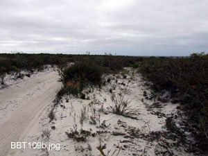
The acsent does not look like much but judging by the star pickets in the ground at the top there may be more to it than just driving up the hill. Once at the bottom the track and terrain changes to sand and low scrub as you approach the coast. Trees across the track are common, some are big.
Right click mouse and use scroll wheel to zoom the map below. You can also access the free map at maps.bushtrax.com where you view and download the map in the .mbtiles format. We have provided information about some apps that will handle this map format. Using your mobile to view in landscape mode is best.

